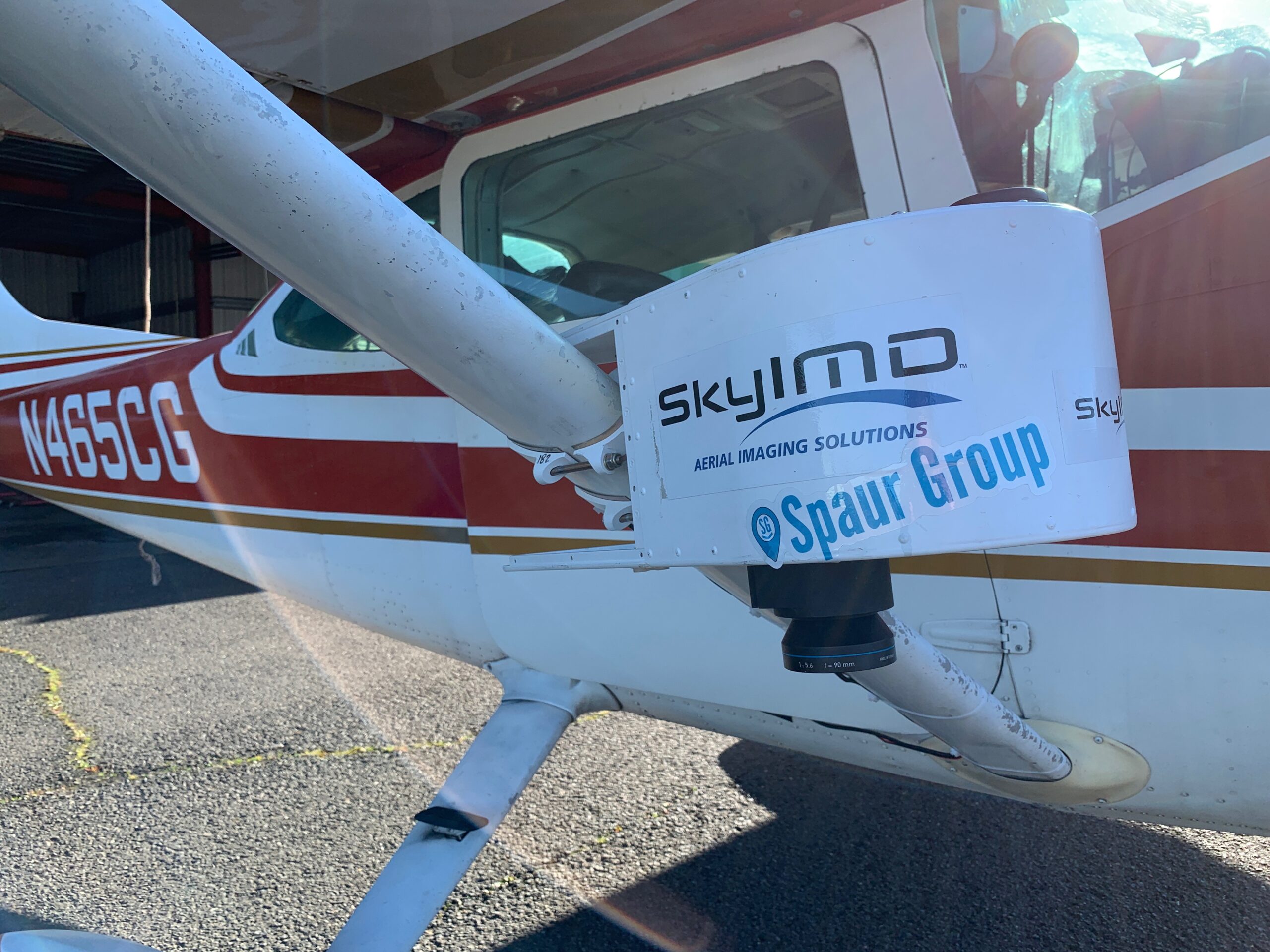
Our team is skilled in 3D reconstruction from the city scale to the micro scale. We can help your team integrate photorealistic 3D scans of buildings, objects, landscape and more. We also provide services utilizing high resolution sensors such as DSLRs, medium and large format, 360 cameras, and combine cameras with LiDAR laser scanners to bring real life into digital 3D.
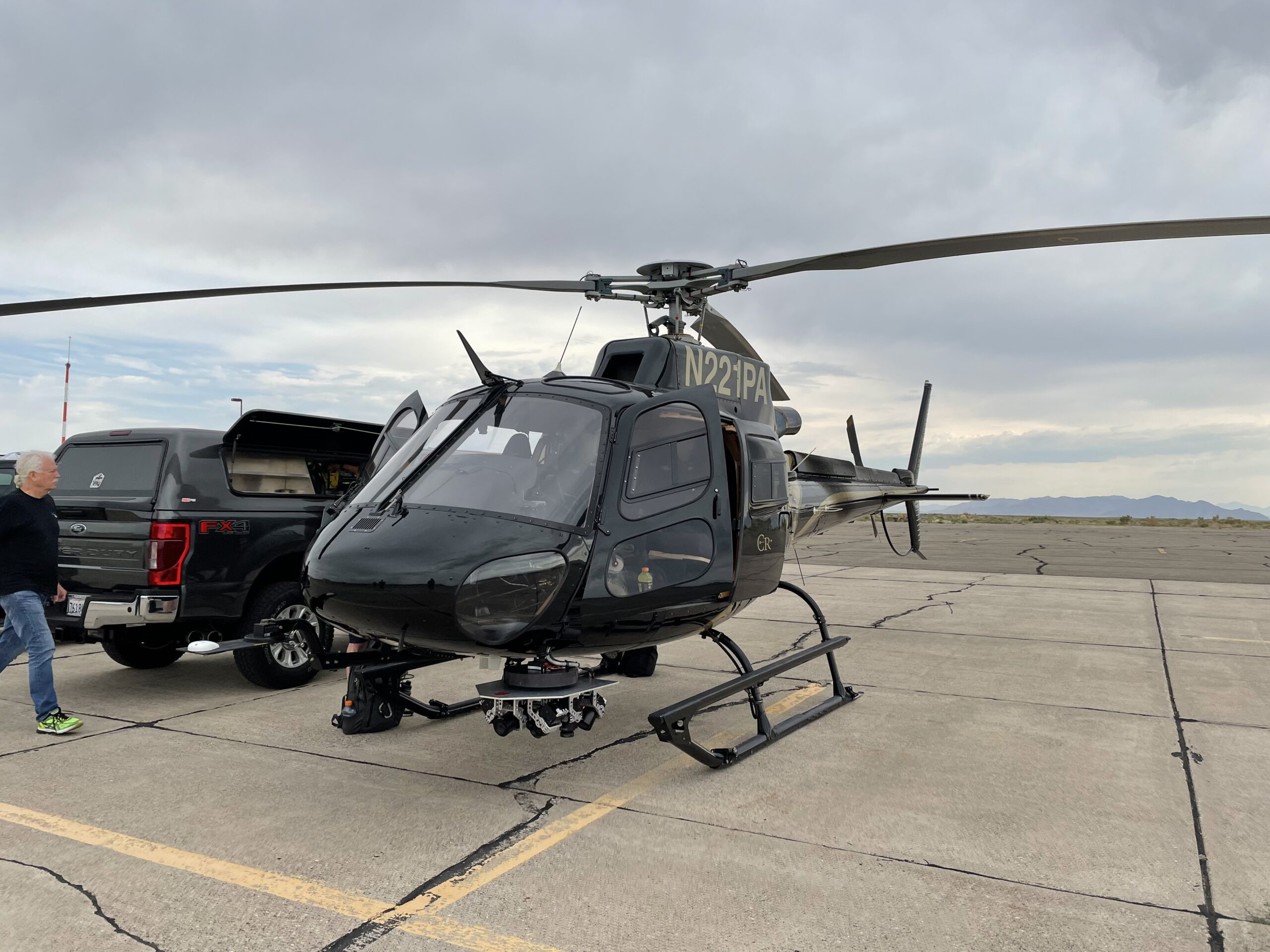
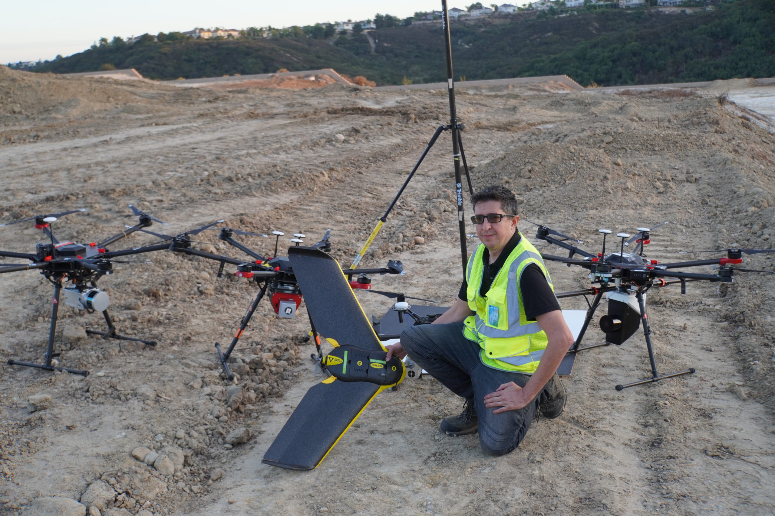
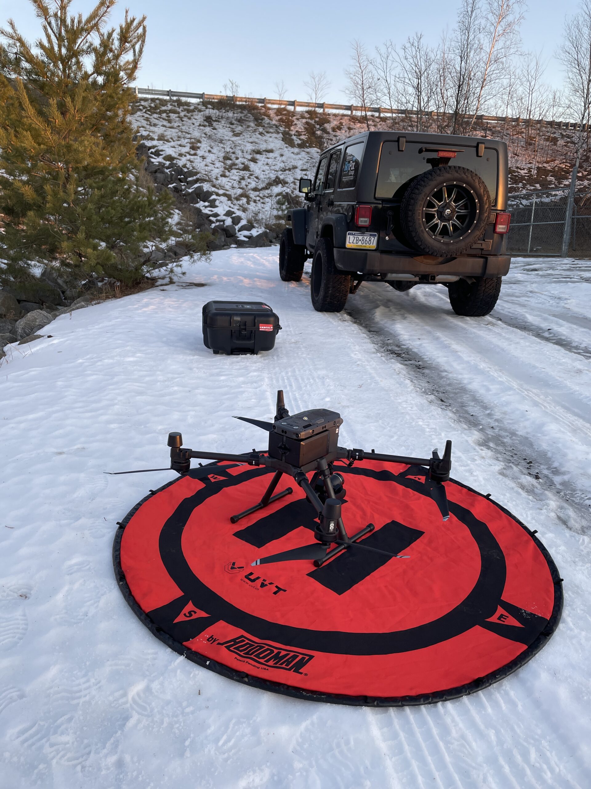
Sensors mounted airplanes, helicopters, drones, cars, robots and submarine ROVs are able to provide 3D scanning above and below ground. Our data product include 3D models, photo composites virtual tours, scenes and more. These models can be used for construction monitoring, parking lot and commercial real estate scouting, remote training, immersive experiences, monitoring land and property over time, and more. We do not provide land surveying services, or topographical mapping.