
Conservation
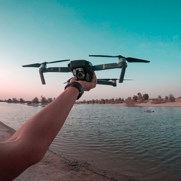
Drones offer a versatile and cost-effective tool for our environment, enabling them to collect data, monitor ecosystems, protect wildlife, and engage the public in conservation efforts. As technology continues to advance, drones will play an increasingly important role in conservation, helping to address pressing environmental challenges and protect our planet’s biodiversity for future generations.
Drone Services for Environmental Data Collection
When data about a specific area is essential, whether to assess land erosion, monitor invasive species growth, or evaluate the aftermath of a chemical spill, our drone services offer the solution. Utilizing advanced technologies such as 3D scanning, aerial and thermal imaging, we provide comprehensive data to empower informed decision-making and strategic planning. Whether it’s reclaiming degraded land or implementing protective measures, our imaging and scanning services deliver the precise information you need to take proactive steps towards environmental conservation and restoration.
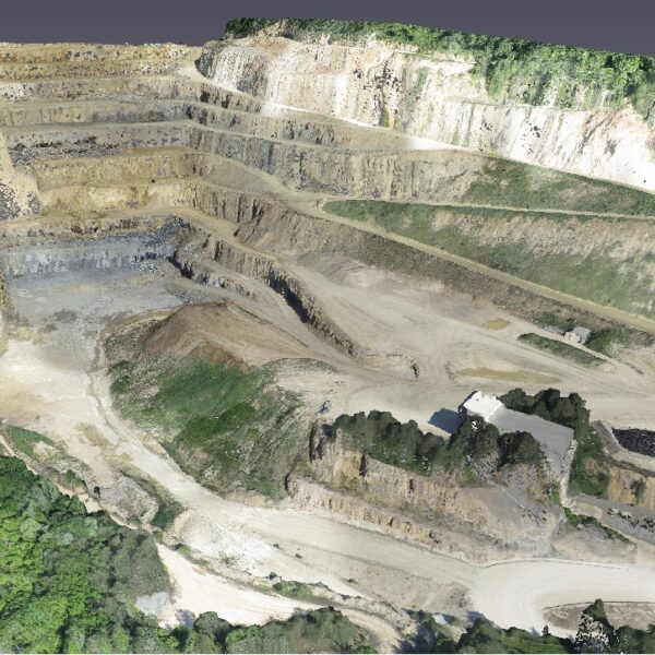
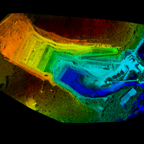
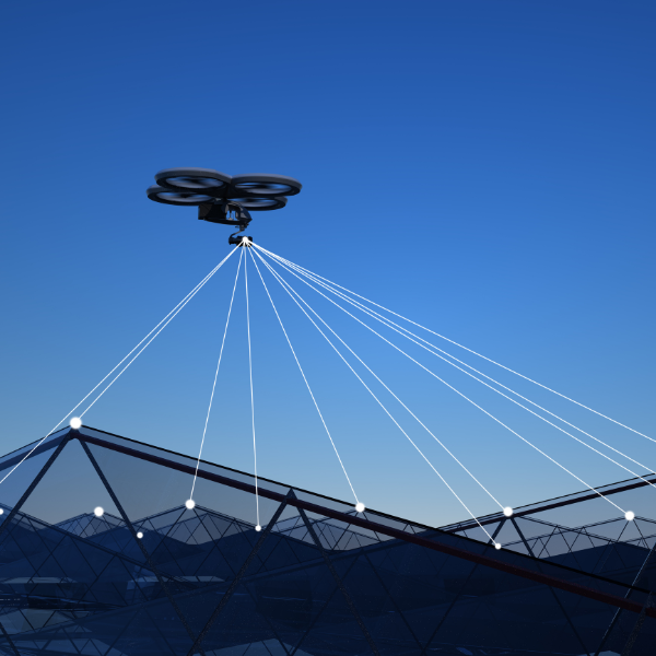
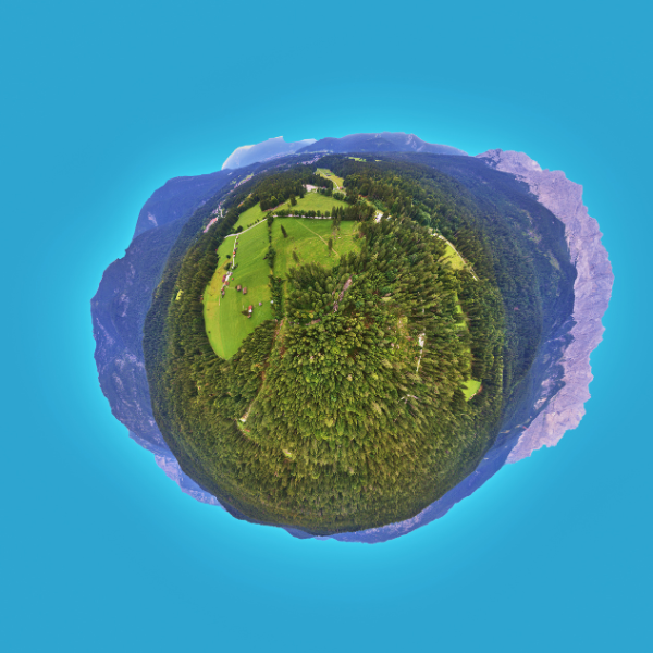
Aircraft equipped with LiDAR (Light Detection and Ranging) sensors or high resolution cameras coupled with photogrammetry software can provide a comprehensive understanding of a site through having images, 3D maps and models that be repeatedly collected and analyzed over time. Using the 3D technologies allow you to measure distances, heights, slopes and more, making them valuable tools for various applications, including, construction, and environmental monitoring.
HOW IT WORKS
Easy Steps
Our approach integrates aircraft, drones and sophisticated 3D software to provide thorough and precise assessments of your site’s condition.
Collect data
Aerial images or scan data is collected either from the air or from the ground, from various angles and elevations, which can provide as much detail, or as large of an area as you need to cover.
Data processing using advanced 3D modeling software
We process imagery (RGB, thermal, 360, multispectral, etc.) to generate a digital reconstructions of your target area, and produce deliverables such as orthophotos, Digital Elevation Maps, 3D models, 360 images, and more depending on your needs..
Provide comprehensive report
We will create the deliverables you need, and provide a report showing the details of the image, scan, or 3D mapping data collection, processing and result. We can work together with your inspectors, engineers, surveyors to provide the data you need, and make any additional annotations, or edits.
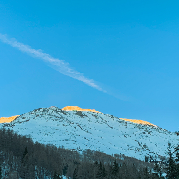
Drone Applications in Conservation
Drones offer a range of applications in conservation, from aerial imaging and wildlife monitoring to habitat management and restoration. With their ability to capture high-resolution imagery and data, drones provide invaluable insights into ecosystem health, habitat dynamics, and biodiversity. Some of the key applications of drones in conservation industry includes the following
Aerial Imaging and Monitoring
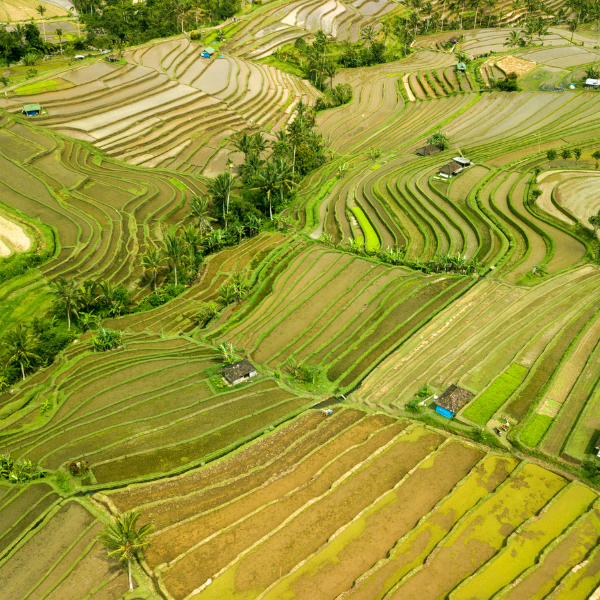
Aircraft equipped with cameras and sensors can conduct aerial imaging of ecosystems, habitats, and wildlife populations. They provide high-resolution imagery and data, allowing researchers to monitor changes in land cover, vegetation health, and wildlife populations over time..

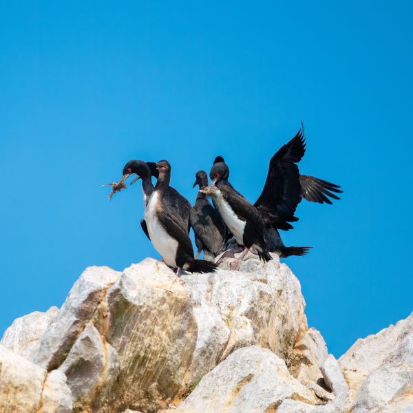
Wildlife Monitoring and Protection
Drones enable researchers to track and monitor wildlife populations without disturbing them. They can be used to conduct population, track animal movements, and detect signs of poaching or habitat destruction, helping to protect endangered species and manage wildlife populations more effectively.
Habitat Mapping and Assessment
Aircraft (crewed and uncrewed) and submarine Remotely Operated Vehicles can create detailed maps and 3D models of habitats, including forests, wetlands, and coral reefs. These maps provide valuable information for habitat assessment, land management, and conservation planning, allowing conservationists to identify priority areas for protection and restoration efforts.
Environmental Monitoring and Research
Drones collect data on environmental parameters such as air and water quality, soil erosion, and climate change impacts. They provide valuable insights into ecosystem health and resilience, helping researchers understand the effects of human activities and climate change on natural ecosystems.
Habitat Restoration and Management
Drones are used to assess the effectiveness of habitat restoration efforts and monitor the success of conservation projects. They can track vegetation growth, measure habitat connectivity, and evaluate the impact of conservation interventions, guiding ongoing management and restoration efforts
Public Outreach and Education
Drones capture stunning aerial footage and imagery that can be used to engage and educate the public about conservation issues. They provide a unique perspective on natural landscapes and wildlife habitats, inspiring conservation awareness and fostering appreciation for the natural world.
Ready to optimize your inspections with drone technology?
Contact us now to book your appointment and ensure the safety and integrity of your property.